These waterfalls are all around Oklahoma State, and you are going to love these gorgeous waterfalls
If you want to view the heaviest waterfalls be sure to go there more so at the beginning of the year than later in the year
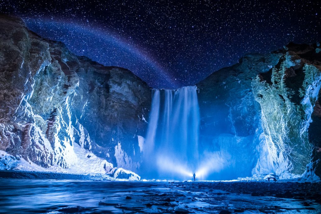
10 – Cache Creek
- Difficulty: Moderate
- How to get to Cache Creek, Wichita Mountains: Get on the Narrows Trail which is off Highway 49, take the left, and you’ll see a sign with a speed limit sign of 25
- Duration of hike: The average person takes around 1 hour to complete this trail
- Trail length: 2.7 miles
- Elevation: 262 feet
- More information: Narrows Trail Cache Creek Falls
- You’re going to love this small waterfall, it’s full of beautiful rocks and an invigorating atmosphere
- You’ll start on the Narrows Trail and wind up witnessing this beautiful creation brought to you by Earth.
- I encourage you to just sit and contemplate the effectual existence of ourselves
- A word of warning with Cache Creek is that to be careful when actually involving yourself with the water because believe me… it can get slippery
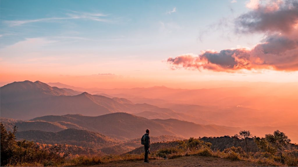
9 – Sand Creek Falls
- Difficulty: Moderate
- How to get to Sand Creek Falls, Bartlesville: Head directly West of Blossburg, past Arnot, continue on Arnot Road, and take the left when you see the sign
- Duration of hike: The average person takes roughly 3 hours to complete this trail
- Trail length: 6.7 miles
- Elevation: 682 feet
- More information: Sand Run Falls Trail
- Sure this trail is nearly 7 miles… but it’s 7 miles of captivating beauty!
- I would highly encourage you to take the action required to delve deep into this magnificent trail because it not only supplies instant dopamine from the visual but it’s utterly unique
- Just as on the previous trail, be very careful of the wet rocks because I cannot stress how easy it is to fall
- The second half of this trail can be difficult to follow so try to be as vigilant as you can
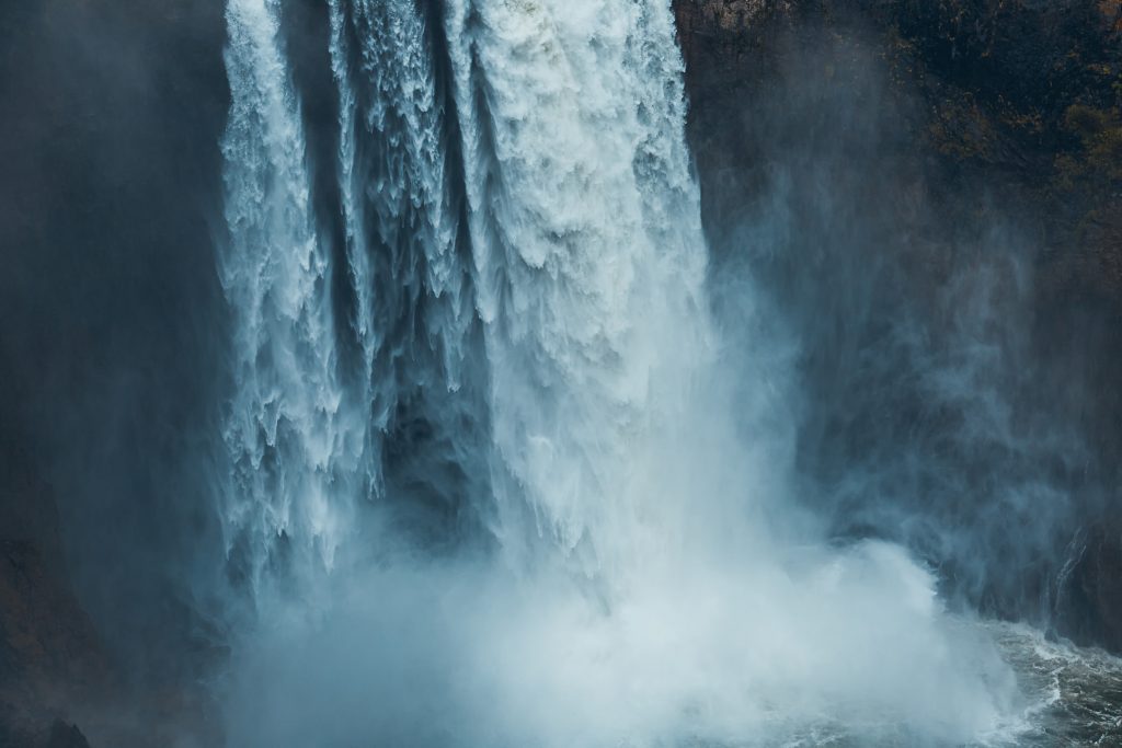
8 – Spavinaw Area Spillway
- How to get to Spavinaw Area Spillway, Grand Lake: Head south of Spavinaw on Highway 20 and you’ll see Spavinaw Area Spillway at Grand Lake State Park. Head in and you’ll see this grand jewel
- More information: The spillway at Spavinaw
- You may wonder why I have a spillway listed on Oklahoma hiking trails with waterfalls… Though in your eyes this may not be a stereotypically classified waterfall, in Oklahoma sometimes we get desperate
- This is a very easy to get to treasure, be that it may not be a real waterfall it’s still sassy and classy
- If you do indeed decide to join the Spavinaw Area Spillway brigade, I would encourage you to walk around Spavinaw Lake

7 – Bluestem Falls
- Difficulty: Moderate
- How to get to Bluestem Falls, Pawhuska: Head North West of Pawhuska towards Bluestem Lake Public Campground and you will see it off Highway 4070
- Duration of hike: The average person takes roughly 16 whole minutes to hike this trail
- Trail length: 0.7 miles
- Elevation: 72 feet
- More information: Bluestem Falls
- Less than a mile and only 72 feet of elevation toward a world-class waterfall… do you really need to be sold on this beauty?
- The trail in and of itself is a loop trail which I favor highly because you don’t feel as if you are backtracking
- Be vigilant because the trails are not marked well and you will find graffiti along with the sad reality that includes trash
- Those are a few of the reasons why I haven’t included this waterfall in a higher tier
- I would still highly encourage you to check Bluestem Falls out though because you will have a great time
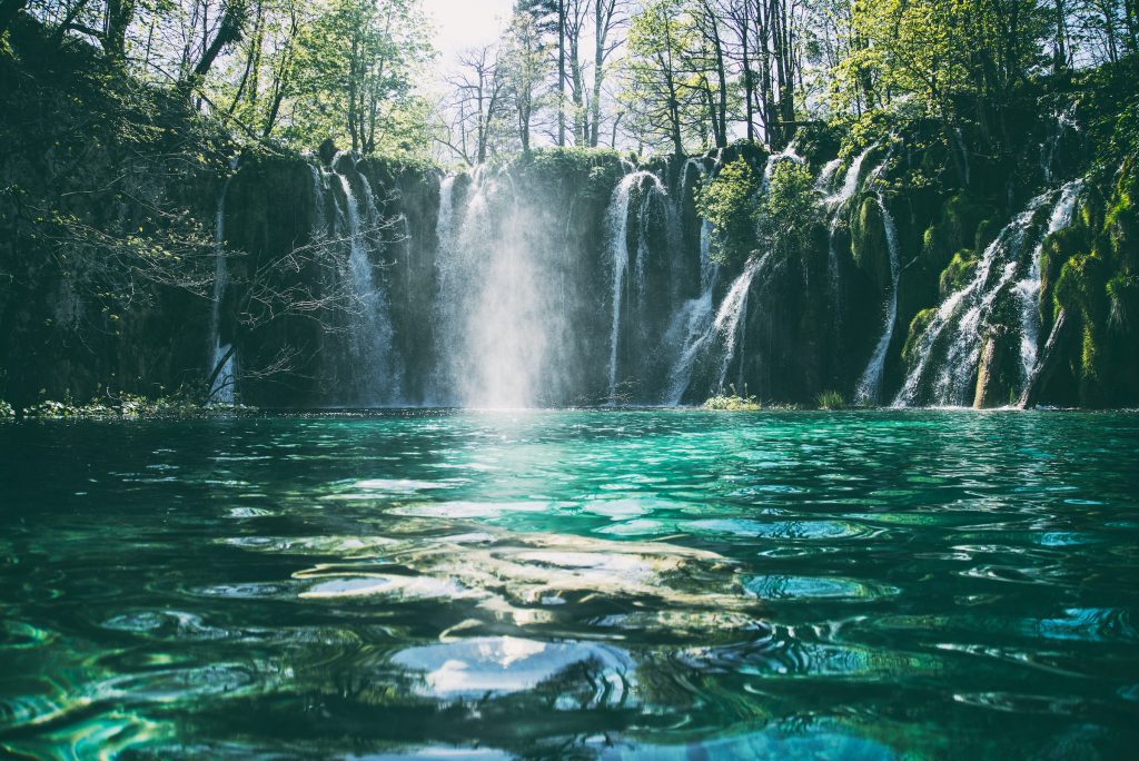
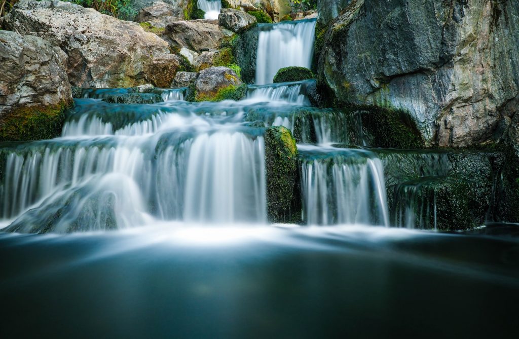
6 – Post Oak Falls
- Difficulty: Moderate
- How to get to Post Oak Falls, Wichita Mountains: Head North West of Cache towards Charons Garden Wilderness Area. Get on Indiahoma Road and take a right when you see signs
- Duration of hike: The average person takes roughly half an hour to complete this trail
- Trail length: 1.5 miles
- Elevation: 173 feet
- More information: Post Oak Falls Trail
- If you have kids, like fishing, or want to walk your dog, this trail is going to be perfect for you
- Depending on what time of year you go, there may be a trickle or a full-fledged waterfall. You want to go earlier in the year rather than later if you want to see a tremendous amount of water
- The reason I have Post Oak Falls listed on my top 10 best Oklahoma hiking trails with waterfalls is because of the consistent beauty throughout the entirety of the hike
5 – Little Niagara
- Difficulty: Easy
- How to get to Little Niagara: Head to Sulphur, go directly South past Flower Park on Interstate Highway 177. Turn on NE Perimeter Road and you will see signs for it
- Duration of hike: The average person takes roughly an hour to complete this trail
- Trail length: 2.8 miles
- Elevation: 150 feet
- More information: Travertine Creek Trail
- Little Niagara is a beautiful open woods waterfall. The calm area has the ability to relax the most active of brains
- I would instantly recommend this waterfall simply with how meditational the environment is
- The trail is exceptionally maintained, wide gravel surface, lots of beautiful wildlife, and lots of shade is included
- This trail does have heavy traffic though so be prepared to see other people
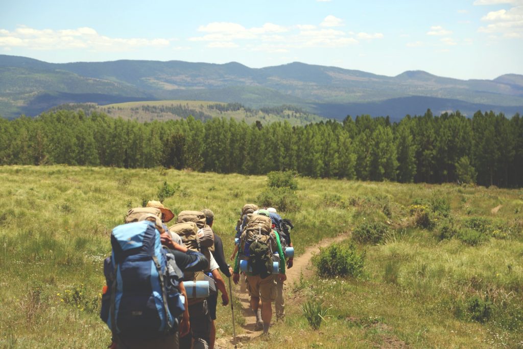
4 – Beavers Bend Waterfall
- Difficulty: Moderate
- How to get to Beavers Bend Waterfall, McCurtain County: Head North of Broken Bow on Interstate Highway 259 and get on 259A then continue along until you see signs and it will be on your left (directly across from the Broken Bow Reservoir)
- Duration of hike: The average person takes around 40 minutes to complete this hike
- Trail length: 1.5 miles
- Elevation: 282 feet
- More information: Friends Trail Loop
- This entire hike is probably going to be a lot of fun for you. Not a fleeting moment will go by where you aren’t captivated by the beauty of this trail
- We both notice that the difficulty of this trail can be described as moderate. However, sometimes the specified difficulty is a lie. Parts of this trail are a tad bit more difficult than the defined “moderate” category it’s given
- One of the great things about this trail is that even shortly after a rain storm, the damage to this trail will most likely be negligible
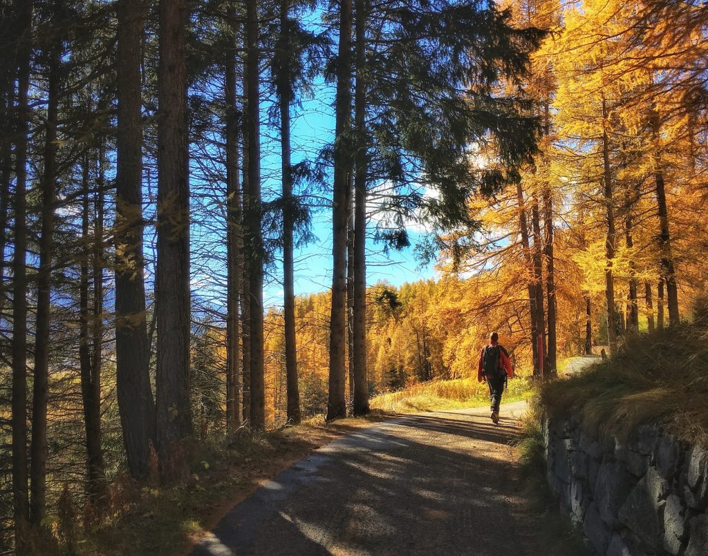
3 – Medicine Creek
- Difficulty: Easy as possible
- How to get to Medicine Creek, Lawton: This is the easiest access waterfall on the entire list, just head over to Medicine Park, wander around the water for a few minutes and you will find this little beauty
- Duration of hike: less than 100 feet
- Trail Length: less than 100 feet
- Elevation: near zero
- More information: Medicine Creek
- This small city is a great addition to your journey through Oklahoma.
- The waterfall is right in the middle of the city, you will see it quite quickly
- I encourage you to not only view the beauty of the waterfall but explore the city a bit
- My ultimate reason for adding Medicine Creek to my list of the top 10 best Oklahoma hiking trails with waterfalls is that you’ll be able to explore a little city and have easy access to a waterfall
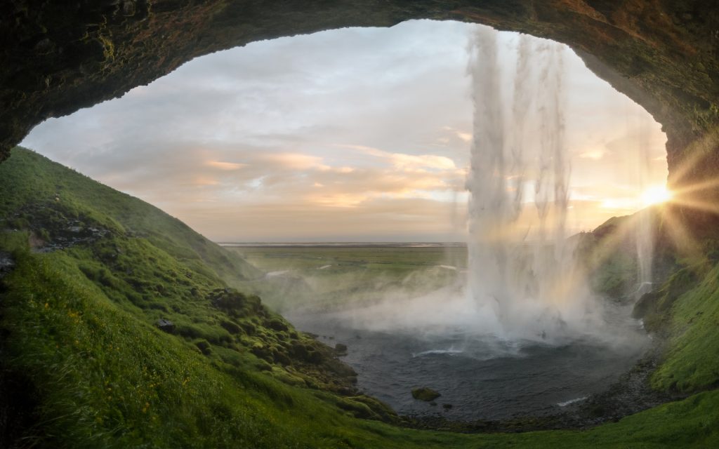
2 – Turner Falls
- Difficulty: Moderate
- How to get to Turner Falls, Arbuckle Mountains: Head North of Ardmore on Interstate Highway 35 until you see the sign for Turner Falls State Park
- Duration of hike: People on the average finish this trail in an hour and a half
- Trail length: 3.5 miles
- Elevation: 344 feet
- More information: Turner Falls
- You are going to love this trail. This is especially probable considering it’s a loop trail
- You can camp, hike, rock climb, visit caves, see a waterfall and bring your kids to this phenomenal place
- For Oklahoma hiking trails with waterfalls, this place is nearly unbeatable.
- This is a beautiful trail… However, if you do not like to be around people, this trail might not be for you. This trail can get a lot of visitors
- It can get a bit confusing when it comes to reading the trail markers but it’s completely worth it
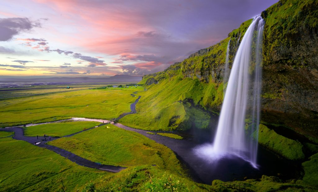
1 – Dripping Springs
- Difficulty: Moderate
- How to get to Natural Falls, West Siloam Springs: Head West of West Siloam Springs, get on Cedar Drive/ Old Highway 33, and continue until you see the signs
- Duration of hike: The average person takes roughly 30 minutes to complete this trail
- Trail length: 1.1 mile
- Elevation: 144 feet
- More information: Dripping Springs
- You can’t find a more perfect trail in Oklahoma with such a low trail length, low elevation, and an earth-shattering waterfall
- My reasoning behind placing Dripping Springs at the number one spot for my top 10 best Oklahoma hiking trails with waterfalls is purely due to the stature of this amazing waterfall
- If you’re going to visit one place on this list, try to aim for Dripping Springs because you will not be disappointed
- There are so many different paths in this area to hike also, so if you want to get exploratory, you are more than able to
Miscellaneous
- If you want to find some cheap areas in the United States, check these out
- Have any beautiful waterfall suggestions? Feel free to leave a comment below
