These are in my opinion the best trails in all of Sonora, Mexico. You cannot go wrong with any of these trails, you are guaranteed to have a fabulous time
If you know of any nearby hikes, feel free to leave a comment at the bottom of the page
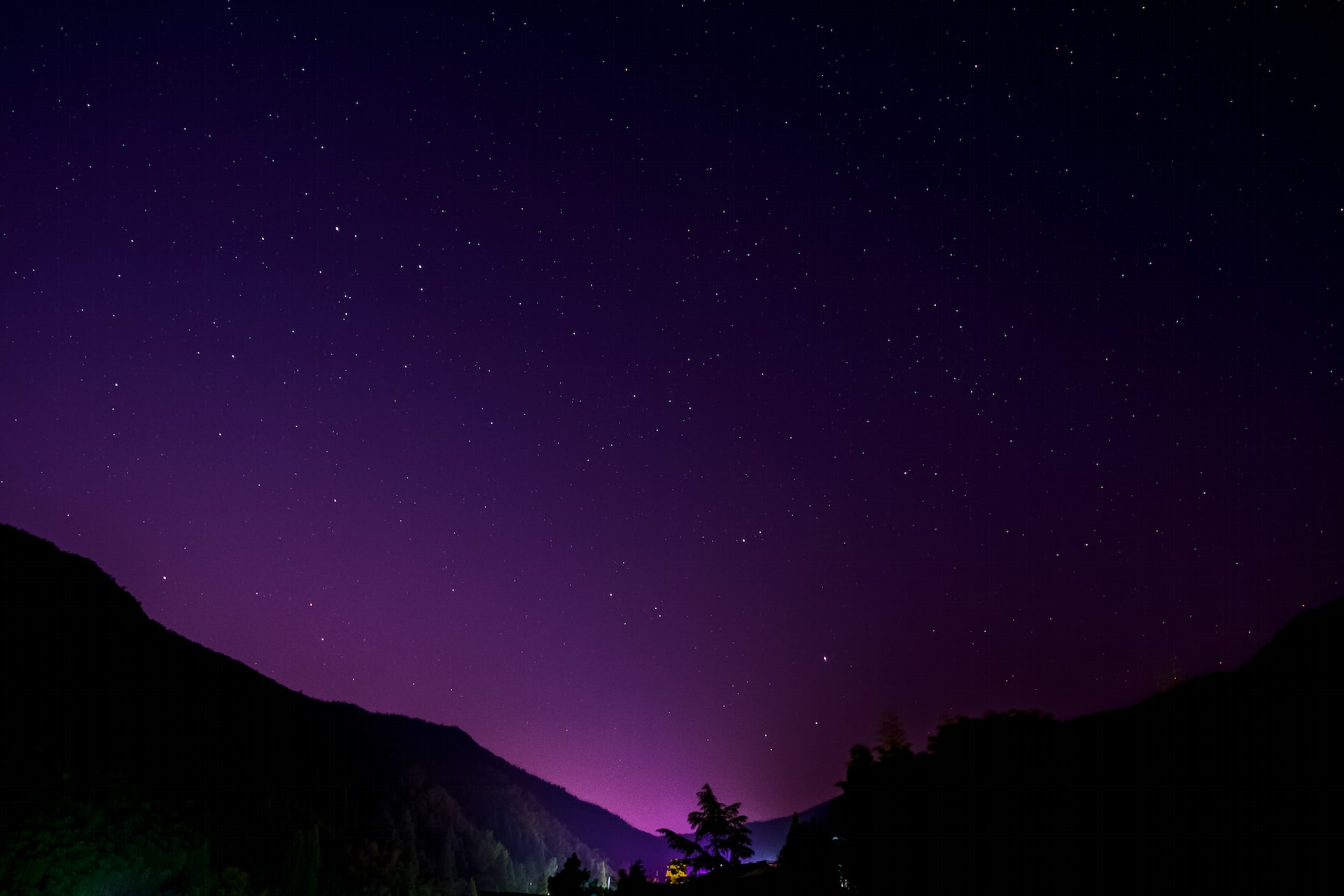
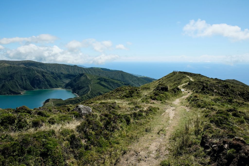
5. Cerro Tetatakawi West Peak
- Difficulty: Hard
- How to get to Cerro Tetatakawi West Peak: Head to the South Western point of San Carlos Nuevo Gauymas
- Duration of hike: The average person takes roughly 1 hour and a half to complete the trail
- Trail length: 1.1 mile
- Elevation: 1,043 feet
- More information: Cerro Tetatakawi West Peak
- Don’t worry this is the hardest hike on the entire list
- Yes, it may be located in a not-so-common area… However, give it a shot, and you won’t regret it… Unless of course, you are brand new to hiking
- If you decide to take on this trail, try to remember to bring a lot of water and gloves.
- Sadly there’s not much shade on this trail but there are many challenges to take on
- I had to include at least one difficult trail on this list of Sonora hiking trails
- Overall just be very careful when scaling this trail, try not to get overconfident at all during the entire trek, and try to bring someone if you’re going to do it
4. Cañón Del Nacapule
- Difficulty: Moderate
- How to get to Cañón Del Nacapule: Similar to the last trail. However, this time head North of San Carlos Nuevo Guaymas, get on Al Cañón del Nacapule until you see signs for it
- Duration of hike: The average person takes roughly 1 hour to complete this trail
- Trail length: 1.7 mile
- Elevation: 574 feet
- More information: Cañón Del Nacapule
- This trail is considerably easier than the last trail. However, it is still on the higher end of the difficulty scale. Have no worries though because as the list goes on the trails get more accessible and easier
- Behold, you will encounter some beautiful caves on this trail
- The amount of boulders and unique rocks you will find on this trail makes it worth it alone, especially if you are really into them
- Another unique item about this trail is that in order to get to certain marvelous views you will have to actually get adventurous and go off of the path
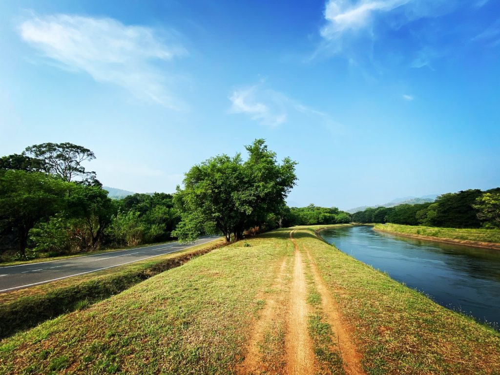
3. Cerro del Bachoco
- Difficulty: Moderate
- How to get to Cerro del Bachoco: You will have to go directly to the uppermost North Eastern corner of the city of Hermosillo. Get on boulevard Jose Maria Morelos Norte and it will be on your right (directly across from Boulevard Progreso
- Duration of hike: The average person takes around 1 hour and a half to complete this trail
- Trail length: 2.1 miles
- Elevation: 869 feet
- More information: Cerro del Bachoco
- If you don’t mind being around a few people, this trail will suit you because you will most likely encounter other hikers here
- In terms of Sonora hiking trails, one cannot go wrong with the always elegant Cerro del Bachoco
- I cannot even put into words how captivating the view of the city on this trial is, you have to go see it for yourself
- Remember that there are no bathrooms around here… but there are a lot of loose rocks
- In the scope of all seasons, I would recommend coming here during the fall
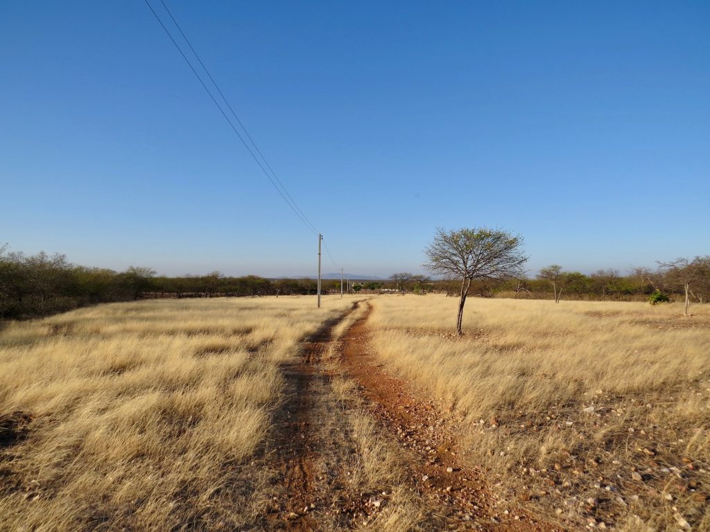
2. Playa El Acuario
- Difficulty: Easy
- How to get to Playa El Acuario: Similar to the first trail head West of San Carlos Nuevo Guaymas and the trail will be off Highway 124 on Avenida Viznaga
- Duration of hike: The average person takes around 1 hour to complete the entire journey
- Trail length: 2.5 miles
- Elevation: 318 feet
- More information: Playa El Acuario
- I will not try to deceive you, this trail can get weird. By weird I mean some of this could actually be considered private property.
- If you are still motivated, this trial contains a lot of great views at a very doable elevation
- Though the trail is incredible… if the temperature feels hot… rest assured on this trail it will feel as if The God of Fire has struck upon you
- When we are talking about Sonora hiking trails, the list wouldn’t be right without including Playa El Acuario
- The beach view is worth the trek alone, this really is a monumentally special trail
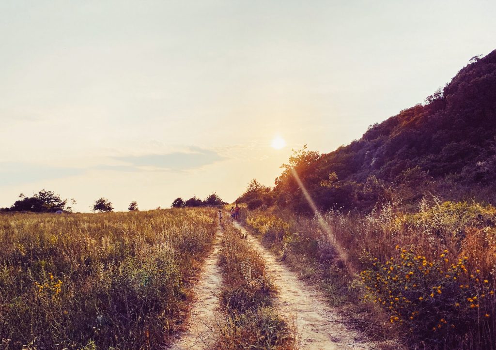
1. Banco de Arena de Bahía Adaír
- Difficulty: Easy
- How to get to Banco de Arena de Bahía Adaír: Head all the way North West of Sonora towards Rocky Point. Go a bit North West of Rocky Point. Off of Highway 3, you will see a street North of Acceso Laguna Shores, go on there and take it all the way to the left
- Duration of hike: The average person takes roughly 1 hour and a half to complete this trail
- Trail length: 4.6 miles
- Elevation: 127 feet
- More information: Banco de Arena de Bahía Adaír
- This trail is an absolute riot. You are going to love this trail, particularly if you enjoy large bodies of water
- You can camp and even fish on this trail
- In my opinion, this trail is utterly perfect, you will not run into massive difficulties on this trail. You will also see some of the best views around
- In terms of Sonora hiking trails, the reason this is number one on my list of top 5 hiking trails in Sonora, Mexico is simply because of the beauty, distance, and elevation
- I highly recommend coming here during sunset, you will shatter your own perception of reality towards what beauty really is
Miscellaneous
- If you want to visit cheap areas in Europe, check these out
- Have any recommendations in terms of hikes? Feel free to leave an elegant comment below
- If you are interested in traveling, head to my homepage, at the top you can select anything you want