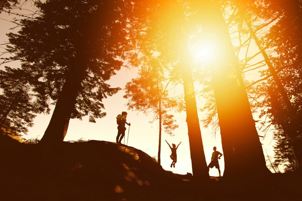
Welcome to my list of top 5 walking trails in Santa Rosa, California. This was a difficult list to make because I’m indebted to the beauty of every single one of these trails.
Do you know any wonderful trails in Santa Rosa? Tell us all with a comment at the bottom of the page
5 – Hood Mountain Range Trail Loop
- Difficulty: Hard
- How to get to Hood Mountain Range Trail Loop: Make your way East of Santa Rosa on Highway 12 until you reach North Pythian Road and continue until you hit the trail
- Duration of hike: The average person takes roughly 4 hours to complete this trail
- Trail Length: 6 miles
- Elevation: 2,047 feet
- More information: Hood Mountain and Panoramic Ranch Trail Loop
- If you love loop trails as I do, you are going to have a staggeringly good time on this. However, make no mistake… The reason this is in the fifth spot on my top 5 walking trails in Santa Rosa, California is because it’s a tougher than normal trail
- This is a much more difficult trail than normal so if you are new or a total amateur… maybe you shouldn’t hit this trail unless you are feeling a bit on the wild side of life
- If you couldn’t tell by the elevation of 2,047 feet, this trail is far more superior in terms of steepness compared to other trails
- You’ll get quite a few beautiful views of mountains and hills on this trail
4 – Rough Go Trail Loop – Canyon Trail
- Difficulty: Moderate
- How to get to the Rough Go Trail Loop: Head East of Santa Rosa towards passing Montgomery Village. Get on Summerfield Road until you reach Newanga Avenue then continue until you reach Canyon Trail
- Duration of hike: The average person takes around 2 and a half hours to complete this trail
- Trail Length: 5.9 miles
- Elevation: 587 feet
- More information: Rough Go Trail Loop via Canyon Trail
- Another beautiful trail loop, though this trail is much easier than the previous one
- On this trail you can hike, mountain bike, run and view some wonderful wildflowers
- If you enjoy wildlife, come on over to this trail because you will be stunned by the number of animals you encounter. In fact, this is the sole reason I added this trail to my top 5 walking trails in Santa Rosa, California
- The only potential downfall about this trail could be that it is a bit rocky
3 – Central Annadel Loop Trail
- Difficulty: Moderate
- How to get to the Central Annadel Loop: Head East of Santa Rosa, get on Montgomery Drive until you reach Channel Drive which will lead you directly to The Central Annadel Loop Trail
- Duration of hike: The average person takes roughly 2 and a half hours to complete this trail
- Trail Length: 5.1 miles
- Elevation: 741 feet
- More information: Central Annadel Loop Trail
- Three loops in a row, we’re on fire. You must check this trail out if you are in the Santa Rosa area
- You are able to hike, go horseback riding, mountain biking, and run on this trail
- The potential downside of this trial is that there is a regulation against dogs
- Beware when venturing on this trail, it’s very common to see many cyclists on it
- You will be mind blown when you see some of the phenomenal visuals that this hiking trail gives you
2 – Taylor Mountain – Sky Lupine Trail
- Difficulty: Moderate
- How to get to the Sky Lupine Trail: Head South East of Santa Rose, get on Petaluma Hill Road until you reach the trail parking lot which will be indicated on your left (if you are heading South)
- Duration of hike: The average person takes around 3 hours to complete this trail
- Trail Length: 5.1 miles
- Elevation: 1,322 feet
- More information: Taylor Mountain
- This trail is going to blow your mind
- I would have to classify this as the second hardest trail on my list so do not come here expecting the easiest hike of your existence
- Though there is a $7 parking fee, you can walk dogs, hike, go horseback riding and run on this trail
- If you do not like being around many people, you may want to avoid this trail. It’s utterly common to see people on this trail
- My next warning about this trail is that when it gets hot, it gets boiling on this trail
- Other than those things this trail is a spectacle of superb exquisiteness, you will definitively be impressed.
1 – Lake Ralphine and Spring Lake Loop
- Difficulty: Easy
- How to get to the Spring Lake Loop: Make your way over to Howarth Memorial Park by following Summerfield Road a bit North East of Santa Rosa
- Duration of hike: The average person takes around 1 hour to complete this trail
- Trail Length: 3.5 miles
- Elevation: 164 feet
- More information: Lake Ralphine and Spring Lake Loop
- I could go on and on about what makes this trail beautiful
- I’ll try to keep it short and sweet, loop style trail, extraordinary views, instant memories, and there’s not much you cannot do on this trail
- The reason I placed this as the number 1 on my list of top 5 walking trails in Santa Rosa, California is the easy-going nature along with the earth-shattering views all in one beautiful package
- This trail is very easy to follow, you’ll see not only wonderful views but some unique wildlife too
- For some people, going counterclockwise on the trail is much easier
- You’ll probably enjoy this hike so much you’ll want to keep trekking it
Miscellaneous
- If you are looking for cheap areas in the United States to travel to, check these out
- Have any useful recommendations for trails? Feel free to leave a beautiful comment below